
ATLAS
امتیاز شما
امتیاز شما
Manager: David Robertssenior
Cartographic Editor: Simon Mumfordcartographers, Paul Eames
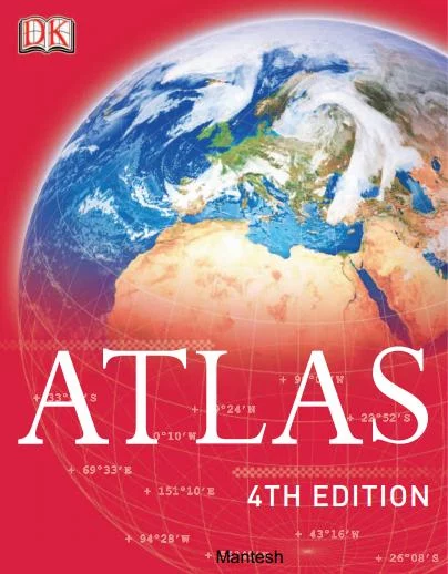
Atlas: 4th Edition, published by DK (Dorling Kindersley), is a comprehensive world atlas designed to provide an accurate and visually engaging overview of the Earth's geography. Renowned for its high-quality cartography and striking illustrations, it serves as an excellent reference for students, educators, travelers, and anyone interested in geography.
The atlas presents the world continent by continent, featuring detailed political and physical maps that clearly show countries, major cities, mountain ranges, rivers, deserts, oceans, and other significant geographical features. Each country is accompanied by essential facts such as its capital, population, area, official language, currency, and national flag, making it a valuable source of quick reference.
One of the book's greatest strengths is its use of satellite imagery, aerial photography, informative diagrams, and colorful infographics, which help readers better understand geographical concepts and the relationships between natural and human environments. The introductory chapters typically cover topics such as the structure of the Earth, plate tectonics, climate zones, oceans, time zones, population distribution, and environmental issues.
As the 4th Edition, the atlas reflects the political boundaries and statistical information available at the time of its publication. While its maps and geographical content remain highly informative, some political boundaries, demographic statistics, or country data may have changed in more recent years.
With its clear layout, exceptional visual design, and reliable cartographic standards, Atlas: 4th Edition is an outstanding reference book for exploring the world's geography and understanding the diversity of its landscapes, nations, and cultures.
آپلود شده توسط:

CACI
1405/04/02







دیدگاههای کتاب الکترونیکی ATLAS